Four Mile Branch Creek
We understand that customers are concerned about the diesel spill that occurred at Four Mile Branch Creek earlier this week. We want all customers to know that the location and creek impacted in no way threaten the drinking water resources managed by Spartanburg Water. The spill occurred miles below our reservoirs and treatment plant. Our community should remain confident in the safety and integrity of their drinking water. Thank you as always for your continued support and concern.
Land Permits
Information on obtaining permits for structures and improvements adjoining Lake Bowen and Lake Blalock.

Lake Bowen and Lake Blalock
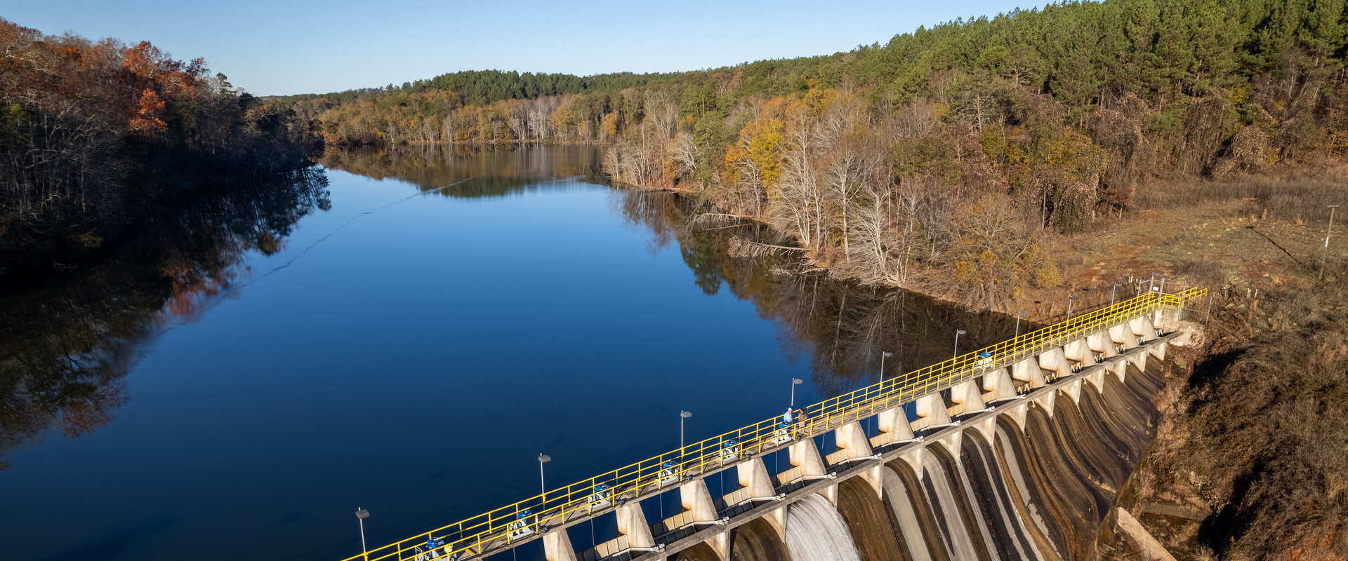
Spartanburg Water System (SWS) has developed a watershed approach to managing the environmental assets surroundings its reservoirs. The buffer area up to the 827’ Mean Sea Level (MSL) Contour Line for Lake Bowen and the 720’ Mean Sea Level (MSL) Contour Line for Lake Blalock is owned and maintained by Spartanburg Water System.
In order to better protect and enhance the water quality in the reservoirs, to maintain and minimize disturbance of the important buffer zone owned by SWS around the reservoirs, and to provide safe recreation for all users of both lakes – SWS requires adjoining property owners to go through a permitting process for the addition of any structures, improvements or modification of natural vegetation in this buffer area, unless specifically exempted. This standard permitting procedure is required each time a project or modification to an existing project is requested by the adjoining property owner.
Those structures, improvements and vegetation modifications that are allowed for permitting can be found in the separate policies and procedures documents that provide guidance for adjoining property owners of Lake Bowen and Lake Blalock reservoirs.
Permits issued for the applied-for project or improvement will remain valid as long as the permittee remains the current addressee and does not violate any policies and procedures outlined in either policies and procedures document.
Municipal Reservoir #1
As the final line of natural filtration for settling and sedimentation before the raw water reaches our R.B. Simms Drinking Water Treatment Facility, SWS is committed to maintaining the natural condition of Municipal Reservoir #1 with a natural and vegetative buffer.
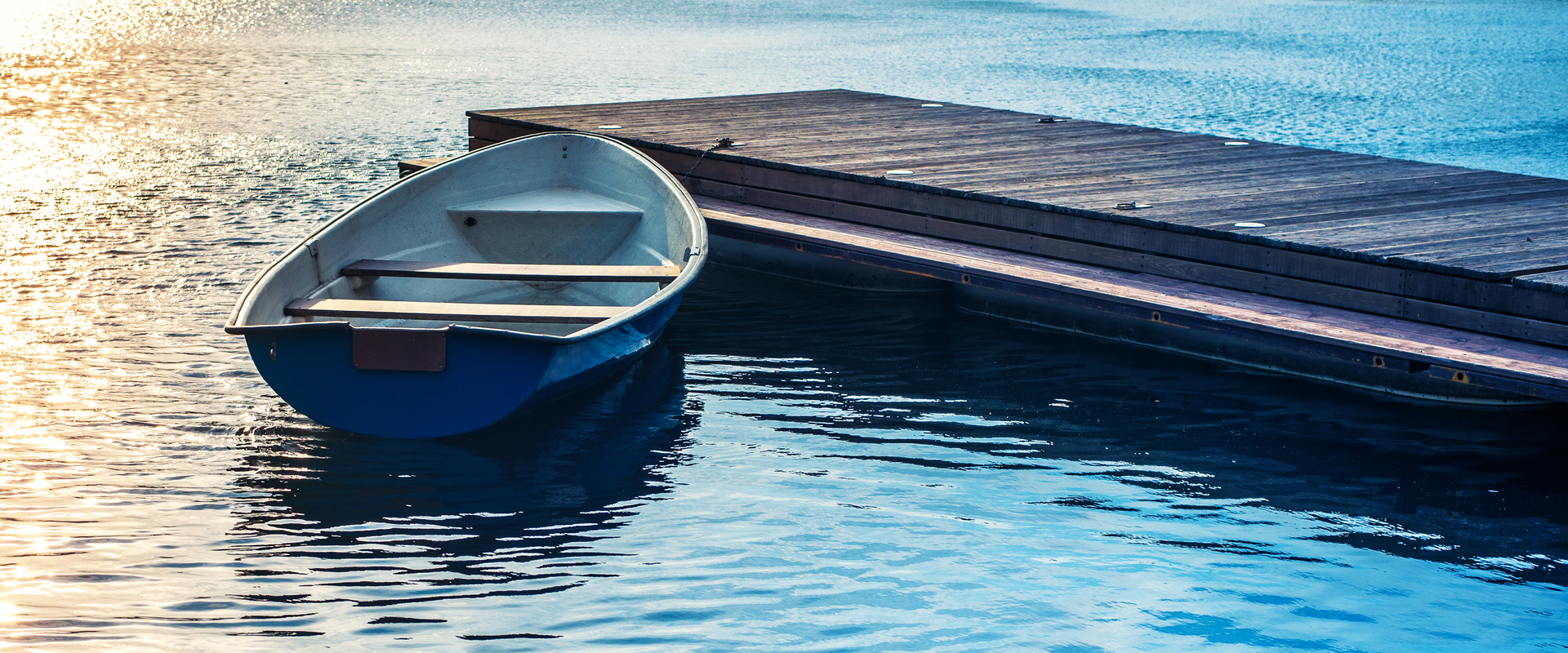
Consequently, no surface recreation of any kind is allowed – including swimming and any forms of watercraft. SWS does not allow new private structures or other forms of improvements such as sitting areas. With a valid SWS permit, adjacent property owners may install a single, stationary dock extending from SWS Property below the 780’ Mean Sea Level Contour Line at Municipal Reservoir #1.

Land Permits for Lake Bowen and Lake Blalock


